
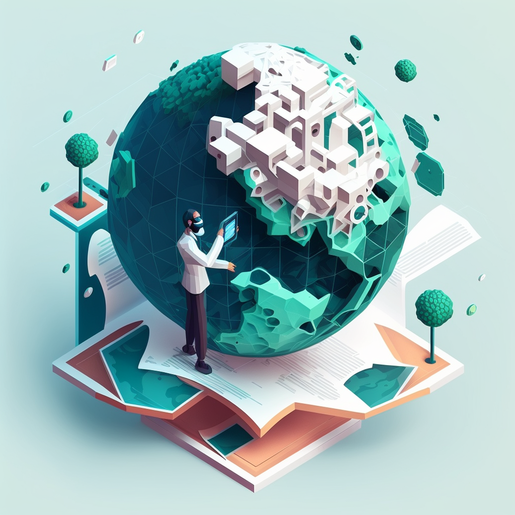
The Impact of Geospatial Technologies on Public Health
At geo:truth, we are dedicated to using data and geography to drive positive change globally. Our mission is to uncover health disparities and tackle global challenges by harnessing the power of geospatial technologies. Today, we want to delve into how these innovative tools are transforming public health and advancing our mission to promote equity, innovation, and empowerment.
How Geospatial Technologies Address Public Health Challenges
Geospatial technologies encompass a range of tools that capture, store, analyze, and visualize spatial data. These technologies include Geographic Information Systems (GIS), remote sensing, and spatial analysis techniques, all of which play a crucial role in understanding and addressing public health issues.
Disease Surveillance and Outbreak Response: Geospatial technologies are instrumental in monitoring and responding to disease outbreaks. By mapping the spread of infectious diseases, public health officials can identify hotspots, track the progression of outbreaks, and allocate resources more effectively. For instance, during the COVID-19 pandemic, GIS was used to visualize infection rates, hospital capacities, and vaccination distribution, enabling data-driven decision-making.
Environmental Health and Pollution Tracking: Spatial analysis helps identify environmental factors that impact public health, such as air and water pollution, hazardous waste sites, and exposure to toxins. By overlaying health data with environmental data, researchers can uncover correlations between pollution and health outcomes, guiding interventions to mitigate risks and protect vulnerable populations.
Access to Healthcare Services: Geospatial technologies are used to assess and improve access to healthcare services, particularly in underserved and remote areas. By analyzing spatial data on healthcare facility locations, transportation networks, and population density, planners can identify gaps in service coverage and develop strategies to enhance accessibility. Mobile health clinics and telemedicine solutions, guided by geospatial analysis, are increasingly being deployed to reach isolated communities.
Health Equity and Social Determinants of Health: Geospatial analysis sheds light on the social determinants of health, such as income, education, housing, and access to nutritious food. By mapping these factors alongside health outcomes, researchers can identify disparities and design targeted interventions to address inequities. This approach is central to our work at geo:truth, as we strive to ensure that everyone, regardless of their zip code, has equal access to health and well-being.
Case Studies and Our Work
Case Study 1: Mapping Malaria in Sub-Saharan Africa
In collaboration with local health authorities, geo:truth used GIS to map the incidence of malaria Sudan. By analyzing spatial data on mosquito breeding sites, climate conditions, and population movement, we identified high-risk areas and optimized the distribution of insecticide-treated bed nets and antimalarial drugs. This targeted approach could led to a significant reduction in malaria cases and improved health outcomes in the affected communities.
Case Study 2: Assessing Health Impacts of Air Pollution in Cairo
As part of our ongoing research, geo:truth conducted a study on the health impacts of air pollution in Cairo, Egypt. Using remote sensing data and spatial analysis, we mapped pollution levels and correlated them with respiratory illness rates. The findings highlighted neighborhoods with high exposure to pollutants and elevated health risks. These insights informed policy recommendations for reducing emissions and protecting public health in the city.
The Role of Young Professionals
Young professionals are at the forefront of advancing geospatial technologies and their application in public health. Their innovative thinking, technological expertise, and commitment to social justice are driving transformative change. At geo:truth, we actively support and empower young geospatial epidemiologists and data scientists to contribute to our mission.
By providing training, mentorship, and opportunities for collaboration, we are building a new generation of leaders who will continue to harness the power of geospatial technologies to address health disparities and promote equity. We encourage young professionals to join us in this endeavor, bringing fresh perspectives and innovative solutions to the challenges we face.
Conclusion
Geospatial technologies are revolutionizing public health by enabling more precise, data-driven interventions and fostering greater health equity. At geo:truth, we are committed to leveraging these tools to uncover and address health disparities, ensuring that everyone, everywhere, has access to the resources they need for a healthy life.
Stay tuned to our blog for more insights into our work and how you can get involved in advancing health equity through geospatial technologies. Together, we can make a difference.
By sharing these insights, we hope to inspire action and collaboration within the public health community and beyond. If you are interested in learning more about our projects or contributing to our mission, please reach out to us. Let’s work together to create a healthier, more equitable world. Email us: admin@geotruth.org!
